
This is my second time - actually my third - went to Padang Besar, Kedah. Situated at the border between Malaysia and Thailand. I and my wife and my mother in law went here when we were visiting my brother in-law who work at Jitra and it is about 30 km from Padang Besar. The thing that interesting here is shopping. It is all about shopping, if it's no tax-free shopping here i think there will be no famous Padang Besar, maybe it will known as borderline only.
There is a lot of stall and there is a bazaar been made for the businessman to sell their goods and thing mostly from Thailand in a very good price. Although there is a word that say made in thailand goods is not a quality one., but do we once ask ourselves do our things made in malaysia is a very good one. For me as long we satisfied with the things we buy, it's consider allright.
Although the bazaar and stall quite not in a good arrangement, but looks like Majlis Daerah are in their way to make the surrounding better than before. Renovation and improvement is on the way. May Padang Besar will be the 'Garden of Shopping' in a short time.
Thursday, December 11, 2008

Monday, July 14, 2008
Port Dickson's Beach
This small town used to produce charcoal, but it was later developed as a small port by the British during the Strait Settlement period. Port Dickson was also known as Tanjung. In Malay language that means "cape". The oldest shophouses were the four situated presently at Jalan Lama. There was also a carbon mine at the first mile of the coast road (Jalan Pantai), and therefore Port Dickson was also called "Arang" (charcoal) in the Malay language.
Tin ore was plentiful in Lukut, an area within the Port Dickson district, during the 1820's, and it attracted Chinese immigrant miners. The British considered the area to have great potential as a harbour. It was intended to supersede the port in Pengkalan Kempas. The in-charge officer's name was Dickson, and thereafter the town was named Port Dickson. Others claim that Sir John Frederick Dickson founded Port Dickson and Pulau Arang in 1889.
Port Dickson evolved into a busy trading centre. Railways were constructed to facilitate the growth and development of Port Dickson. Although Port Dickson experienced rapid development, the beautiful beaches are fairly well preserved. Now, Port Dickson has become not only a beautiful tourist destination, but a large municipality with about 89,000 residents.
Wikipedia
Sunday, June 29, 2008
Langkawi, The island of mystical legend
Off the coast of Kedah is a cluster of 99 islands with the best of many worlds; beautiful beaches, world-class infrastructure, mangroves rich in flora and fauna, ultra-cheap duty-free shopping and fascinating legends.
Langkawi has a lingering legend woven into its history. Ask anyone in Langkawi about the tragic legend of a beautiful young lady named Mahsuri, and you'll hear a tale of love, jealousy and a curse that was placed upon the island by the her for seven generations. Today, the seventh generation of Langkawi’s inhabitants has long come and gone, but people here still believe that the prosperity and blessings the islands enjoy today and the passing of the curse is not a pure coincidence. The mysticism of this legend can be felt in many parts of this island, especially at Makam Mahsuri (Mahsuri’s Mausoleum) where the famous legendary figure is said to be buried.
Langkawi is not only geared towards tourism. Many of the islanders are farmers, fishermen and entrepreneurs. Experience the beautiful countryside and the peaceful landscape of paddy fields by renting a car and taking a leisurely drive around the island. Some of Langkawi’s most rustic and memorable views are along the road that circles the island. You'll pass small villages with wooden houses framed by palm trees, and children pedalling their old bicycles on an errand. Aside from experiencing the local lifestyle, there is no shortage of things to do in Langkawi.
Head up the thrilling new cable car to the summit of Mount Mat Cincang - Langkawi's second highest mountain - for an unrivalled view of the entire main island and beyond. You can also visit the Field of Burnt Rice, the Hot Springs, Telaga Tujuh (The Seven Wells) and the Beach of Black Sand. Boat tours are organised to Tasik Dayang Bunting, (Lake of the Pregnant Maiden), Gua Cerita (Cave of Stories) and the Gua Langsir (Curtain Cave). And if you're more outdoorsy, why not go trekking through the pristine rainforest that blankets most of Langkawi, or go on a boat tour of the mangroves, go diving, or play a round of golf at some of the 5-star resorts. Langkawi also has an underwater world, containing an underground tunnel that runs though a giant aquarium, that has gotten rave reviews.
For beautiful scenery, great adventures and five-star conveniences, Langkawi is the place to getaway.
source : Malaysia Tourism Website
Friday, November 23, 2007
Gunung Belumut

To the northeast of Kluang town in central Johor lies

To get here, head for Kluang town. The entry to Gunung Belumut is along Kluang - Jemaluang trunk road. From the trunk road you have to pass through Felda Ulu Dengar oil palm plantation to reach the park. The waterfalls here cascade at low and moderate heights with the base quite flat. It is popular with among families during holidays.

It is 1010 m in height, putting it among the highest in Johor. This distinctive mountain is also the most prominent landmark in the district of Kluang. The climb to the summit will take about 4-6 hours, making it quite necessary to camp overnight.
We had been there twice, first time before we had a daughter and the second one, with our, 1 and a half year daughter and her first “lifebuoy”.

Tuesday, November 06, 2007


Thursday, November 01, 2007
Kapas Island (Pulau Kapas), Terengganu
Last holiday in June. We went to ‘Pulau Kapas’. Pulau Kapas or
FAQ about
Q1. I want to go to
Answer:
For
Q2. Where can I park at Marang. Is it safe ?
Answer:
There're a lot of car park operate in Marang. It is safe to park here. Recently I’d charged RM3 for 5 hour.
Q3. What is the best time to go for island holiday ?
Answer:
The best time is between March - October and pls get advice regarding the weather condition before you go. Try to avoid school and public holiday. Check out travel tips.
Q4. Where is the airport strip ?
Answer
The airport is located 20minutes from the main town of
Q5. Any interesting place to visit at
Answer:
Yes, Pulau Raja (
Q6. What is the ferry schedule if I want to go to
Answer:
Most boats leave around 0900am and the cost is : Marang Jetty to Resort by slow boat RM15/person (return) (25minutes) Marang jetty to Resort by speed boat RM25/person (return) (10 minutes)
Tuesday, October 23, 2007
The 'Highland' Named Cameron - Cameron Highland

Cameron Highlands was found in 1885 by William Cameron which was eventually have the area named in his honour. William Cameron was on an expedition sent by the British government. The plateau he found is at an altitude of ~6000ft (1,800m) above sea-level and the temperature falls between 8°C and 25°C. It was not fully developed until 1925 that it was then proposed by Sir George Maxwell as a hill resort. It has since become a very popular resort among Malaysians and overseas tourist as well.

Maisarah at strawberry plantations farm
The only way to get to Cameron Highlands is by road. Until a few years back, you could only get to Cameron Highlands from the south via Tapah but since the opening of the new Simpang Pulai road, traveling to the highlands has become much more easier from the north. You can also get here from the east coast via Gua Musang in Kelantan but take note that this road has yet to be gazetted by the authorities.

Cactus Valley

Travelling without staying a night there make me feel to visit it once more and having more fun there.
Saturday, April 21, 2007
Taman Tasik Taiping - Taiping Lake Garden

Located near to Malaysia oldest town and being the most beautiful lake garden in Malaysia, Taiping Lake Garden. The tranquility, beautiful lake view and misty mountain scenery are something that you will never forget. Taiping Lake is easily accessible from North-South Highway of Peninsula Malaysia and can be reached by following the road signs exiting before Ipoh town if you are coming from north.
The oldest lake gardens in the country, this park sprawls over 62 hectares at the foot of the hill resort of Bukit Larut. Magnificently sculptured out of the natural environment, these picture-postcard gardens present a serene and panoramic landscape with their lush greenery, lovely lakes and a profusion of colorful flowers and plants. The unforgettable sight here is the huge, ancient angsana trees with their drooping branches that seem to defy the law of gravity.
I'll try to post more picture on this lake.
Saturday, November 11, 2006
Teluk Batik Beach

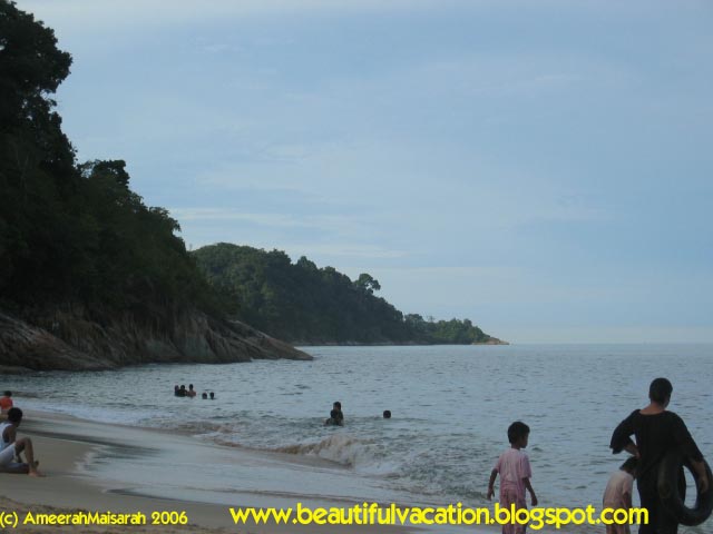
Looking for a great picnic ground for the weekend? About 6.5 kilometres from Lumut lies Teluk Batik, a favourite spot for campers, picnickers, swimmers and sun-lovers.
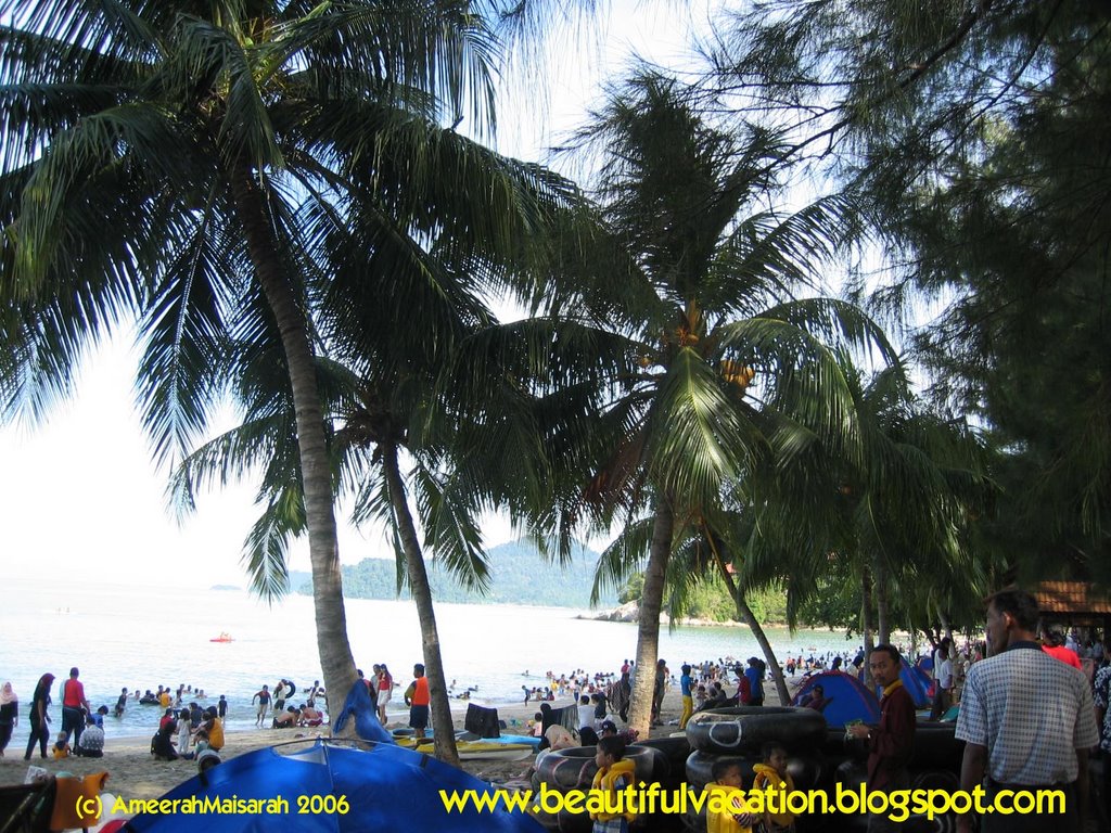
We’ve been there once and found it was so suitable for family picnic. Facilities such as chalets, toilet, restaurants and souvenir centre are provided to make your stay an enjoyable and fun-filled experience. The most important for me there is a toilet. No toilet means no enjoy.
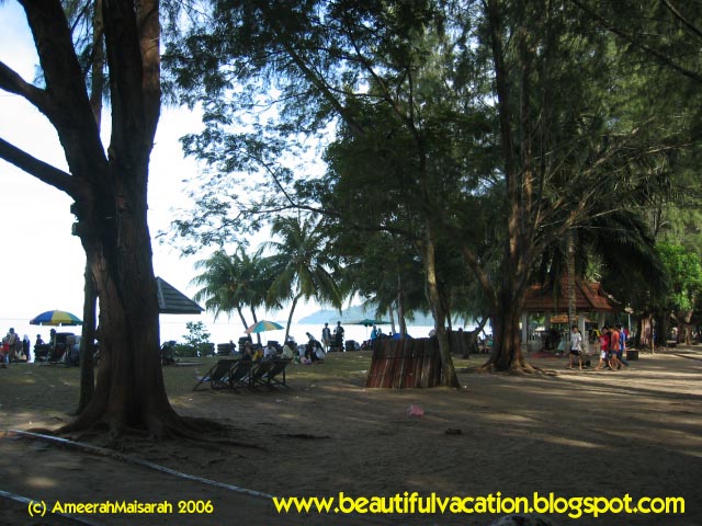
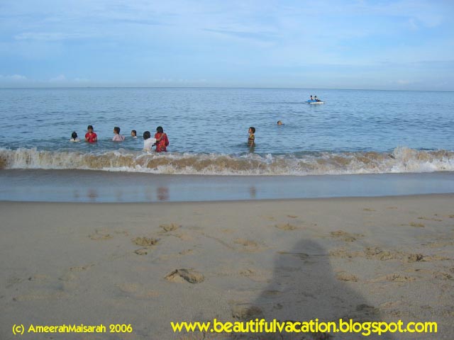

For your information each year in August, the Pesta Laut Lumut (Lumut Sea Festival) is held here. It is an event that is filled with sea sports competitions, cultural shows and fun-and-food fairs for the young and the old to enjoy. Please check with the Perak Tourist information Centre for the actual date of Pesta Laut Lumut.
How can we get there. Tourists can take a coach or taxi from
Monday, October 09, 2006
Orang Utan


Had you ever touched “Orang Utan” ,if you wish to do so, come and visit the Sepilok Orang Utan Rehabilitation Centre situated only 20 minutes by road from
Visiting Sepilok Orang Utan Sanctuary was one of the best highlights of my gap year around 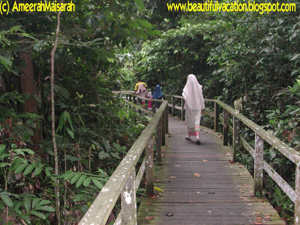
A wooden walkway takes you through some of
We were thrilled when the trees started to rustle and three fully grown females swung in. They were closely followed by five more, including some smaller, 'teenage' Orang Utans.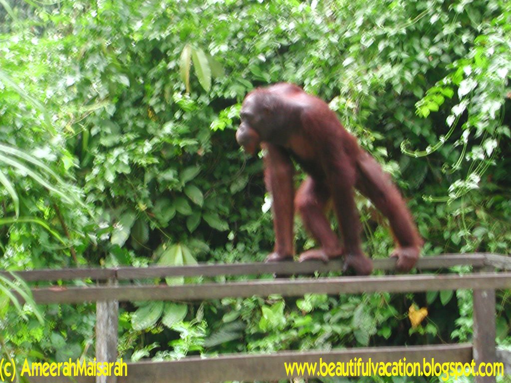
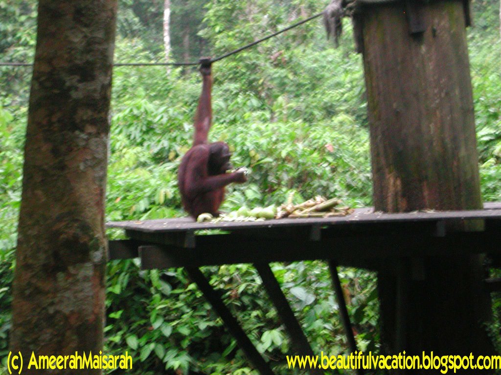
One particular male stopped to give us a cheeky show of tricks before heading for the platform to feed. They are fasinating creatures to observe. We were so lucky to see ten in total that afternoon. But theres only two of it that i can had a picture of it, because of my camera problem.
To avoid the spread of disease, touching the animals is not permitted inside the Rehabilitation Centre. However, it is usually possible to meet and photograph a couple of the mature females, who are so fond of human company that they refuse to go back to the wild, just outside the Registration Centre.
The Sanctuary also houses a couple of highly endangered Sumatran rhinos, and occasionally other animals such as elephants. There is an Information Nature Education Centre, and a mini-theater where a documentary video about the work of the Sepilok Orang Utan Sanctuary is shown. Visitors are advised to arrive about one hour in advance to register and enjoy activities prior to the feeding. It is possible to take a taxi to Sepilok Rehabilitation Centre and have it wait for your return. There are also infrequent buses marked "Sepilok" leaving from the station near the Central Market. All tour operators offer guided tours which include transport.
There's also a Mangrove Forest Trail. This trail in the Sepilok Centre and takes about 2-3 hours walking one way. Interesting features include a scenic stream, water-holes, transitional forest, pristine lowland rain forest, boardwalks into the mangrove forest and wildlife tracks.
 Any trip to Sabah would not be complete without a visit here.
Wednesday, September 27, 2006
Kota Tinggi Waterfall

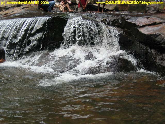
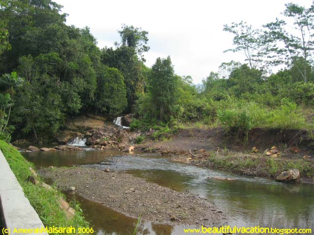
The Kota Tinggi park was made famous by the river and the waterfall. It is the focal point of the days outing. This is one waterfall that is southernmost and near to urban Singapore. The Kota Tinggi Waterfall is located 62km away from Johor Bahru, and 16km away from Kota Tinggi. One of Johor's noted natural attraction, it is a great favourite among the locals.Originating from the top of Gunung Panti, the waterfall cascades down a rock face some 34 metres into a small pool below.
The area of the park itself is relatively small by our standard. It has a gigantic car park, almost half the area of the park. From the car park to the main waterfall area is a beeline line along the bank of the river. This distance is approximately just below a kilometer.
I think the best part of the trip, is to witness an authentic waterfall. made by nature. Of course, the river that flows down from the low hills of Muntahak 634m high cannot be big. Likewise the volume of water through the waterfall was not dramatic at the time this picture was taken.

This is a good place to bring your children out for the weekends. More appropriate for most urban family who could not find time for more exotic destination. As for plans of having picnic, just have something very simple. But the problem is you could not find suitable place to enjoy that day off and justifying the long journey here. Of course within that small space and the large crowd, cannot expect a very conducive ambience. But I think, after swimming at the base of the waterfall you can forget all of that problem .
Wednesday, September 20, 2006
Pulau Manukan - Tunku Abdul Rahman Park

My post today is about Pulau Manukan, Situated in Sabah Negeri Di Bawah Bayu. Manukan is one of the 5 islands under Tunku Abdul Rahman Park. Look like boomerang shaped and some say like a dolphin, Manukan covers 51 acres and is the second largest island in the group. Only 20 minutes by boat from the state capital of Kota Kinabalu City, Manukan offers clear waters and beautiful coral reefs. The surrounding is so ideal for snorkeling, diving and swimming. Trails around the island provide endless hours of trekking in the cool, shady forest.
Manukan Island is the island with the most complete facilities: tropical timber chalets, restaurants, swimming pool, football field, squash and tennis courts and a marine exhibition centre. Snorkelling equipment hire and water sports, as well as daily beach BBQ's and infrastructural support-water, electricity, desalination plant, sewerage system, and even a solar-powered public telephone are also available to make your stay an enjoyable and fun-filled experience.
Guests can choose to stay in one of the single or double storey chalets. All chalets overlook the South China Sea and a spectacular sunset is almost a daily affair. The Manukan Island Restaurant offers a wide selection of Asian and Continental cuisine. The island is also ideal for small to medium sized group meetings. You are also suggest to spend a solitary time for yourself at the Look-Out Point and watch the beautiful sunset of Borneo.
Manukan Island is the most visited island in the TAR Park, and it is popular with locals and foreign visitors alike. One of the star attractions and must see on Manukan Island is the fish feeding at the jetty where large school of fishes have made their home. You can even snorkel and dive amongst the fish here!
I had been here only for a moment,about a half day. Early in the morning we rent a boat from Kota Kinabalu-there are many boat service go there and almost all the day- and arrived at Pulau Manukan Jetty in about 15 minutes later. Although I only took a half day there but I enjoyed the surrounding and fascinating feeling swimming and had a lunch there. I looking forward to go there once again. Come visit and have a vacation on this island, I’m sure you will get the fascinating and beautiful vacation here…

Tuesday, September 12, 2006
Malaysia's Largest Natural Lake - Tasik Bera
Before this I talked about Tasek Chini, Malaysia's second largest natural lake. Maybe you will ask about the largest natural lake in Malaysia? Where is it? How about it? How large is it? So, today lets talk about it.
The Lake named Tasik Bera. Also located in Pahang state, in the southwest of the state. Tasik Bera is the largest natural lake in Peninsular Malaysia approximately 35km long and 20km wide.It was big isn’t it?
This Largest natural lake in Malaysia area has been home to the indigenious Orang Asli communities of the Semelai tribe for more than 600 years. When Malaysia signed the 'Convention On Wetlands of International Importance', the world's oldest environmental treaty which also known as Ramsar Convention, this lake has been nominated as country's first and to date only Ramsar site.
It is believed to be structurally and floristically unique and also the largest freshwater lake system in Malaysia with catchment area of some 61,000 hectares replenishes more than 7,000 hectares of wetland.
taken from Virtualmalaysia.com
As usual I’d been there, but don’t have a chance to explore more. There is some picture of me at the entry point and at the jetty of the lake.

The Lake named Tasik Bera. Also located in Pahang state, in the southwest of the state. Tasik Bera is the largest natural lake in Peninsular Malaysia approximately 35km long and 20km wide.It was big isn’t it?
This Largest natural lake in Malaysia area has been home to the indigenious Orang Asli communities of the Semelai tribe for more than 600 years. When Malaysia signed the 'Convention On Wetlands of International Importance', the world's oldest environmental treaty which also known as Ramsar Convention, this lake has been nominated as country's first and to date only Ramsar site.
It is believed to be structurally and floristically unique and also the largest freshwater lake system in Malaysia with catchment area of some 61,000 hectares replenishes more than 7,000 hectares of wetland.
taken from Virtualmalaysia.com
As usual I’d been there, but don’t have a chance to explore more. There is some picture of me at the entry point and at the jetty of the lake.
Tuesday, September 05, 2006
Cherating
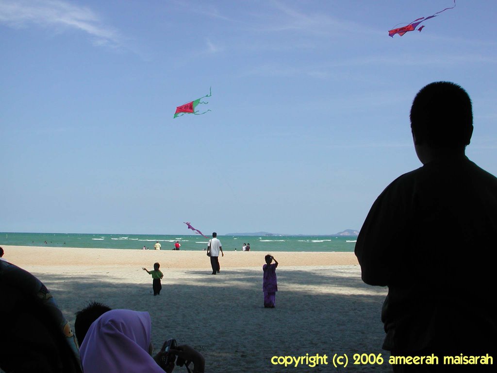
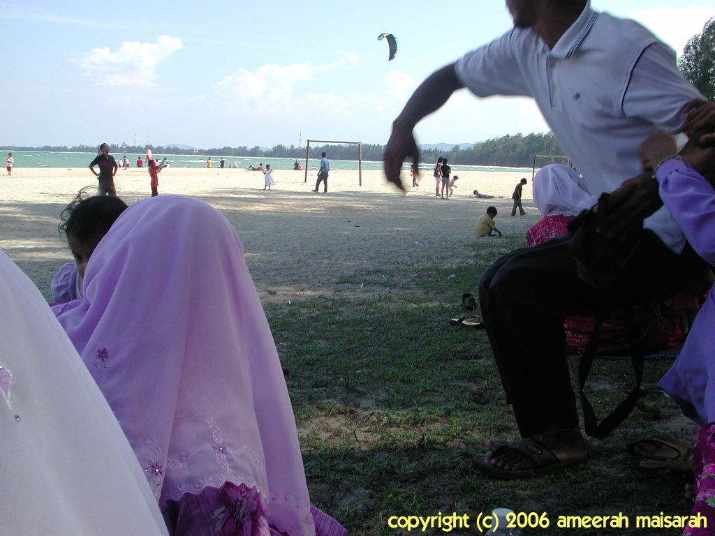
There are many beautiful beaches in Malaysia. Today I would like to tell about cherating. Located in pahang state, it is one of the famous beaches in malaysia. This place still preserves its nature with the beautiful and refreshing scenery. If you want to visit cherating, there are many facilities available such as hotel, chalet and sport activity.
Here are some information about Cherating :
Located 47 km north of Kuantan, the capital of Pahang. A number of water sport such as catamaran sailing and kayaking can be enjoyed here. The excellent wind conditions in Cherating make it the perfect site for windsurfing and kite flying. Hire a bicycle and explore the beach surrounding. Look out for small eateries by the roadside selling inexpensive local favorites and interesting stalls selling souvenirs.
The old Cherating Village has a blend of modern and traditional. A stretch of road about 1km long runs parallel to the beach, dotted with charming and comfortable chalets, many of which face the beach front. Experience the rustic and laid-back atmosphere at the Cherating Village and take home a handicraft or batik souvenir.
Nearer to the town of Kuantan are the beaches of Teluk Chempedak and Balok. Sailing, windsurfing and waterskiing can be enjoyed when wind and sea conditions are favorable. Beserah, less than ten minutes from Kuantan is a fishing village. An interesting sight here is water buffaloes on the beach transporting fish to the markets at certain times of the year.
Getting There
By Road
Cherating is a 5-hour drive from Kuala Lumpur via the scenic route to the east coast. There are buses to Kuantan departing daily from Kuala Lumpur. From Kuantan, there are regular bus and taxi services to Cherating. Alternatively, take a bus from Kuala Lumpur to Dungun or Kemaman in Terengganu, and disembark at Cherating.
By Air
Malaysia Airlines has daily flight to Kuantan. From the airport, Cherating is just 45 minutes away.
Taken from mycutimalaysia.com
These are some picture had been taken while I was there with family.
Sunday, September 03, 2006
Tasik Chini and The Legend
As promise before, this is the articles about Malaysia's second largest natural lake. In English, ‘Tasik’ means lake. Tasik Chini is one of the only two natural lakes in Peninsula Malaysia, both of which are located in the state of Pahang. Located approximately 100km from Kuantan town, the capital of Pahang, Chini is a lake that was formed from the natural damming of a river valley. It is Malaysia's second largest natural lake and is made up of a series of 12 lakes. With its well-known myths, the lake has attracted many visitors from various destinations. Nevertheless, these legends have enticed numerous archeologists to conduct scientific expeditions in Chini.
Local legend tells a tale of a wandering group of Jakun tribesmen who cleared the land to grow food crops. During their labour, an old woman appeared who proclaimed that she was the rightful owner of the land and that her permission should have been sought before any trees were felled. The Jakun humbly apologised, whereupon the woman allowed the men to continue their work. Before departing, however, she planted her walking stick in the ground as a mark of her ownership, telling the men never to remove it.
The men continued with their work, but some time later they heard one of their dogs barking and snarling at a decaying log. One of the Jakun threw his stick at the log, but immediately a torrent of blood issued from the log causing the man to run back to his friends in fear. His friends thought he was possessed by demons and tried to keep away from him. However, the barking continued so the entire tribe returned to investigate the log. A spreading pool of blood had formed around the log.
In fear they hurled their own sticks at the sight, whereupon a dark cloud gathered in the sky. The thunder roared, the lightning flashed and a torrent of rain fell from the sky. The men grabbed their belongings and ran for cover, but in the chaos one of them pulled the old woman's stick from the ground - the very stick which they had been warned not to touch. Immediately a fountain of water poured from the hole made by the stick. The water flowed for many years, thereby creating the lake of Tasik Chini. The tribe realised then that the log was actually the dragon called Naga Seri Gumum.
Of course, no magical lake would be complete without stories of a resident monster or a long-lost, sunken city. So, Tasik Chini has both ! Much like the famous Loch Ness, a serpent-like monster is reputed to make the lake its home. More seriously, there are theories that an ancient Khmer city once existed in the vicinity which has prompted archaeological studies of the lake and its surrounds.
The Sacred Lotus
In reality, Tasik Chini is less a lake and more a naturally dammed tributary of the mighty Pahang River, which lies to the north. Until recently the lake's waters rose and fell with the seasons - during the rainy season the waters were unable to flow down the narrow Sungai Chini and so became backed up in a series of lakes. A unique ecosystem developed, dominated by the presence of the Sacred Lotus Nelumbo Nucifera which once covered the entire surface of the lake system.
Taken from http://www.ecologyasia.com
Local legend tells a tale of a wandering group of Jakun tribesmen who cleared the land to grow food crops. During their labour, an old woman appeared who proclaimed that she was the rightful owner of the land and that her permission should have been sought before any trees were felled. The Jakun humbly apologised, whereupon the woman allowed the men to continue their work. Before departing, however, she planted her walking stick in the ground as a mark of her ownership, telling the men never to remove it.
The men continued with their work, but some time later they heard one of their dogs barking and snarling at a decaying log. One of the Jakun threw his stick at the log, but immediately a torrent of blood issued from the log causing the man to run back to his friends in fear. His friends thought he was possessed by demons and tried to keep away from him. However, the barking continued so the entire tribe returned to investigate the log. A spreading pool of blood had formed around the log.
In fear they hurled their own sticks at the sight, whereupon a dark cloud gathered in the sky. The thunder roared, the lightning flashed and a torrent of rain fell from the sky. The men grabbed their belongings and ran for cover, but in the chaos one of them pulled the old woman's stick from the ground - the very stick which they had been warned not to touch. Immediately a fountain of water poured from the hole made by the stick. The water flowed for many years, thereby creating the lake of Tasik Chini. The tribe realised then that the log was actually the dragon called Naga Seri Gumum.
Of course, no magical lake would be complete without stories of a resident monster or a long-lost, sunken city. So, Tasik Chini has both ! Much like the famous Loch Ness, a serpent-like monster is reputed to make the lake its home. More seriously, there are theories that an ancient Khmer city once existed in the vicinity which has prompted archaeological studies of the lake and its surrounds.
The Sacred Lotus
In reality, Tasik Chini is less a lake and more a naturally dammed tributary of the mighty Pahang River, which lies to the north. Until recently the lake's waters rose and fell with the seasons - during the rainy season the waters were unable to flow down the narrow Sungai Chini and so became backed up in a series of lakes. A unique ecosystem developed, dominated by the presence of the Sacred Lotus Nelumbo Nucifera which once covered the entire surface of the lake system.
Taken from http://www.ecologyasia.com
Malaysia's Second Largest Natural Lake
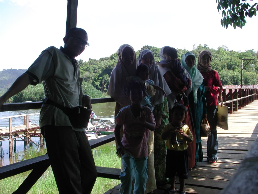
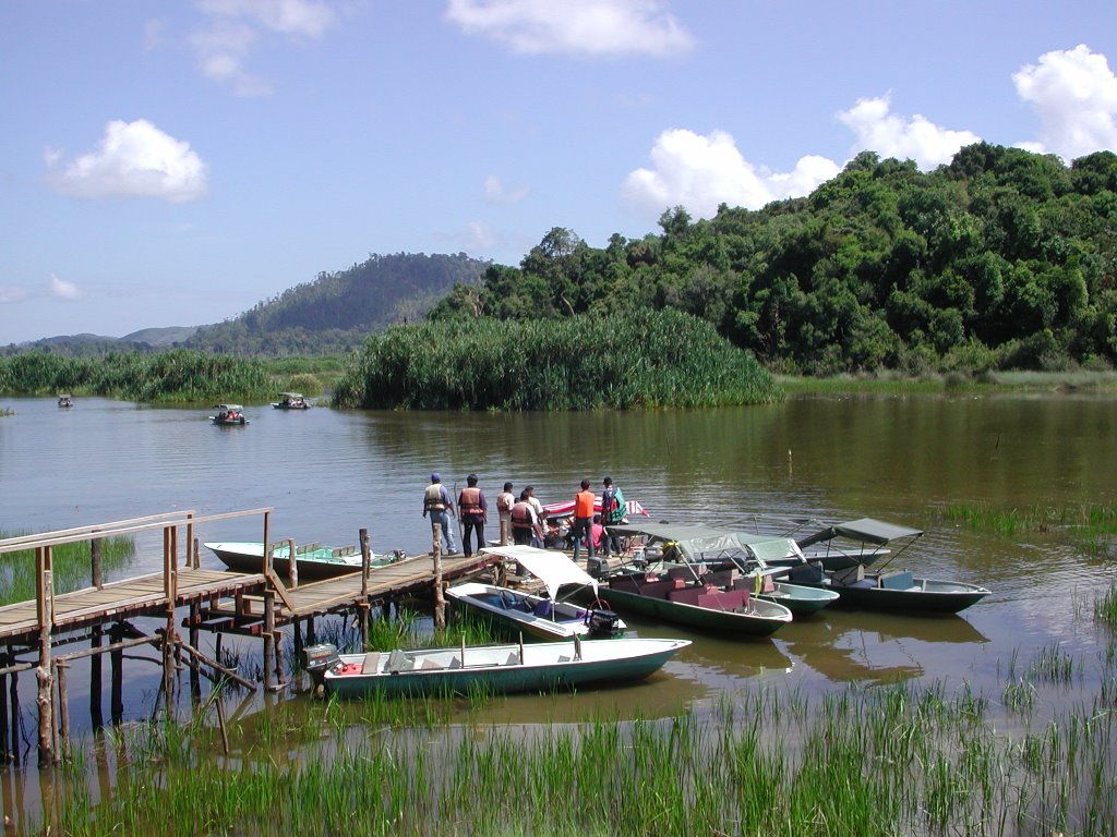
Last week, my family and I went to my sister’s house at Felda Chini. She’s just been transferred here from Sabah. Once there, the first thing got in my mind is Tasik Chini, Malaysia's second largest natural lake. Actually, I never been there although I’m from this state, Pahang. So, we decided to spend time there. We went there with our mother that also came from Temerloh with my brother and his wife. So, it’s more alike a family gathering. So, we’ve been there about 2 hours and feel the refreshment beside the lake. Here are some picture to share with.
To know more about Tasik Chini and the legend tells about it I’ll make it in my next post.
Friday, September 01, 2006
How Batu Pahat get its name?
As you can see beside I'm from Batu Pahat, one of the district in Johor, Malaysia.'Batu pahat' means chiselled stone. Batu Pahat takes it name from an incident when there is a well was said to have been dug by fleeing Siamese troops after a failed attack on Malacca during the reign of Sultan Mansur Syah, the third sultan of Malacca who ruled from 1446 to 1459. The Siamese Soldiers chiselled a hole in the rock until water flowed. The soldiers, who were being pursued by Malacca forces under Bendehara Tun Perak, fled south and sailed back to Siam(Thailand) via the South China Sea. So The district of Batu Pahat takes it name from the incident.
Thursday, August 31, 2006
Our trip to Tanjung Piai

Me, my wife and kid went there on my wife’s 26th birthday. Here are the slide describe our excitement been there. Hope you’ll be the next visitors.
Tanjung Piai - Southernmost Tip Of Mainland Asia
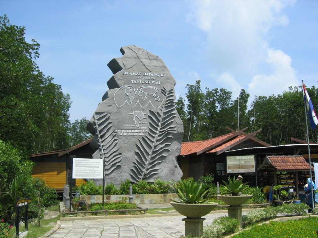

If you work your way southwards on a map of Asia, you will eventually come down Peninsular Malaysia and finally end in Tanjung Piai.The Southernmost Tip of Mainland Asia. The coordinates of this unique geographical spot is 1'16.00' North;103'30.46' East. This is a place where the earth and sea, plant and animal life, live in harmonious proximity. It is an enduring wilderness, a world of colour, contrast and co-existence.
Subscribe to:
Posts (Atom)

